
In this article I summarize and describe the scientific research that was performed near Botopasi in Suriname, which was published in Ecology as ‘Pre-contact and post-colonial ecological legacies shape Surinamese rainforests’ (https://doi.org/10.1002/ecy.4272).

Background
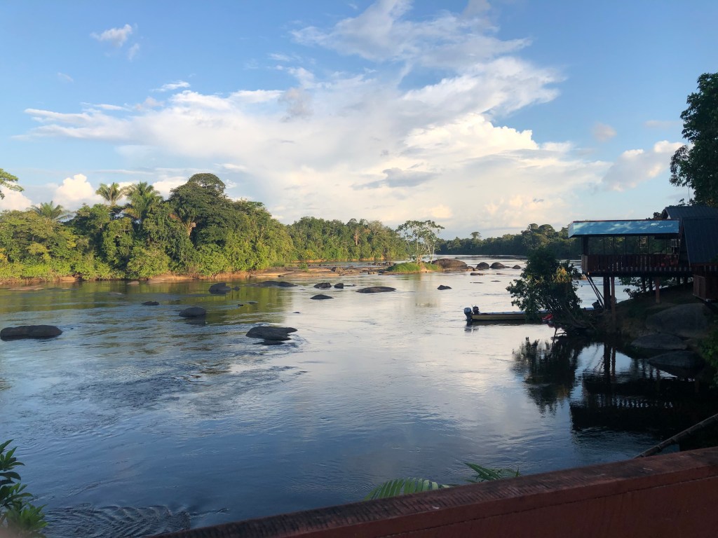
In October 2021, between COVID-19 restrictions, I joined archaeologist dr. Cheryl White and her team to excavate the remnants of a ‘lost village’ of Saamaka Maroons in the Surinamese rainforest. Maroons are the descendants of enslaved Africans, who, in the late 1600s, fled plantations to live in freedom in the Surinamese rainforests. Dr. White has been investigating the first villages and the movements of Suriname’s Maroon communities for decades and is an expert in this topic.
Our wonderful research team consisted of Farisha Kartosemito B.Sc., Sushmeeta Ganesh B.Sc., Jõvan Samson B.Sc., Agir Axwijk B.Sc., Santosh Singh M.A., Thanya Fonkel MPA, Harrold Sijlbing, Dombi Lö, Gerno Eduards & Farik Eduards. We were welcomed in the village Botopasi, and after a day of hard work in the field, we enjoyed delicious Surinamese food and played troefcall!
As an ecologist, I was interested in the ecological effects of past human activities on the forest ecosystem. In these rainforests, Maroon and Indigenous communities often burn and remove trees near their homes to grow a variety of crops like cassava, tayer, maize and banana. After some years, the cultivation site is abandoned and forests can grow back. But do those forests recover back to their original state?
What did the forest look like before people arrived and settled in the landscape of Boven Suriname?
To study how Maroon communities have shaped Surinamese forests over time, I made a reconstruction of the landscape of the past (going back thousands of years). The landscape was near an archaeological sites called ‘Beng Tau’, where Maroons lived in the 17th century. We used plant fossils and charcoal remains to reconstruct the forest from the past, to research if people were using fire and growing crops, and how the forests recovered from that.
Results and implications

The charcoal remains and plant fossils, particularly from maize and banana, confirmed Saamaka Maroons settled in the area since ca. 1700 and practiced slash-and-burn agriculture was near the archaeological site called ‘Beng Tapu’ (Figure 2). The site may have been a cooking area, because remnants of pottery with maize, rice and banana were found. Within 1 km of Beng Tapu, we found large fragments of charcoal, and plant fossils from maize and banana. Smaller charcoal fragments and banana were found within 5 km of the archaeological site. Nowadays, agriculture is practiced within 8 km of the archaeological site and Suriname river. The area used for agriculture likely expanded over time.
How did the forest recover from these activities?
Within 1 km of the archaeological site, forests were burnt and used multiple times. Here, forests have a lower biomass than further away from Beng Tapu, meaning fewer or smaller trees have grown back. Also, Attalea and Oenocarpus palm trees increased. Still today, the Saamaka Maroon community uses the maripa palm to make oil. Therefore, the number of maripa palms may have increased due to human activities like cooking and oil production! Attalea and Oenocarpus palms are also adapted to open conditions and fire, showing the influence people had on the environment and how the forest responded to fires.
Further (2-7 km) away from the archaeological site, where disturbances were fewer, the forests recovered much better but Astrocaryum palms grew back in higher numbers in the understory of the forests. What makes these palms so resilient? We are still uncertain. The forests furthest away (>8km) from Beng Tapu showed little signs of disturbances.
A long human history, and an Indigenous archaeological site?
The Saamaka Maroons were not the first people to have inhabited the forests near Botopasi. Charcoal fragments show that people were in region (the ca. 20 km radius we studied) already 2000 years ago, and fire events occurred ca. 2000, 1700,1500, 1300, 1200 and 800 years ago. We don’t know which Indigenous Cultures may have inhabited this region, because of limited archaeological and historical research here. Large charcoal fragments were found ca. 7 km away from Beng Tapu, across the Suriname River. Could this be an Indigenous archaeological site?
Conclusion
Our results show the timing, intensity and frequency of past disturbances are very important for good forest recovery and some disturbances from the past can still impact the modern vegetation.
Unravelling the past not only tells us about the ancestors of Maroons and the lives of Indigenous communities before the 1500s. The past also helps us to understand how forests respond to human impacts. To better guide conservation strategies, we need to do more archaeological and ecological research in Surinamese rainforests.
Next to the Suriname River, past human activities shaped the forest and increased local palm abundances. The broader forested region showed a healthy recovery. These results indicate that the Saamaka Maroon community preserved most of the forests they inhabited since the 1700s. We can learn from traditional knowledge about which management practices are sustainable to keep forests healthy.
If you want to know more about the “hows” of this research… dive with me into the methodology!
Phytolith analysis
How do you study the vegetation of the past? With plant fossils called phytoliths.
Phytoliths are super small plant particles made of silica, that preserve in the soil after plants die. I have studied those under the microscope, to make a reconstruction of the forest of the past (the vegetation history). Because phytoliths have a different shape for trees, palms, grasses and crops like maize and banana, they can tell us if a forest was disturbed or turned into a ‘cultivation area’ to grow crops in the past.
To study these plant fossils under the microscope, you have to extract them from the soil first. We do that in the laboratory, by removing and chemically burning the organic material. Afterwards, we make slides that we study under a microscope. We manually identify and count the shapes of hundreds of phytoliths!
Charcoal analysis
After a campfire or a large forest fire, fragments of charcoal can stay in the soil for thousands of years. They reveal to us that a fire had burnt in the past. We can analyze if charcoal is present in the soil, and how much, to reconstruct if and how many fires have occurred in the past for a given site. Large charcoal fragments can be radiocarbon dated, to find out when the fire event occurred in the past.
To analyze charcoal fragments under the microscope, we first have to retrieve it from soil. To do that, soil samples are dissolved in soap, heated and sieved to isolate charcoal fragments from other particles (such as stones). Charcoal fragments are then photographed to measure the surface area and calculate the volume of charcoal in each sample.
This research was funded by the Wenner-Gren Foundation and the ERC starting grant.
