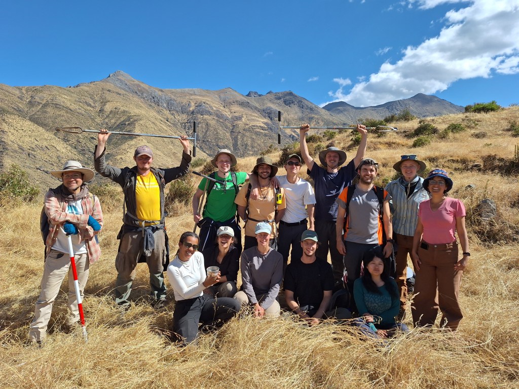
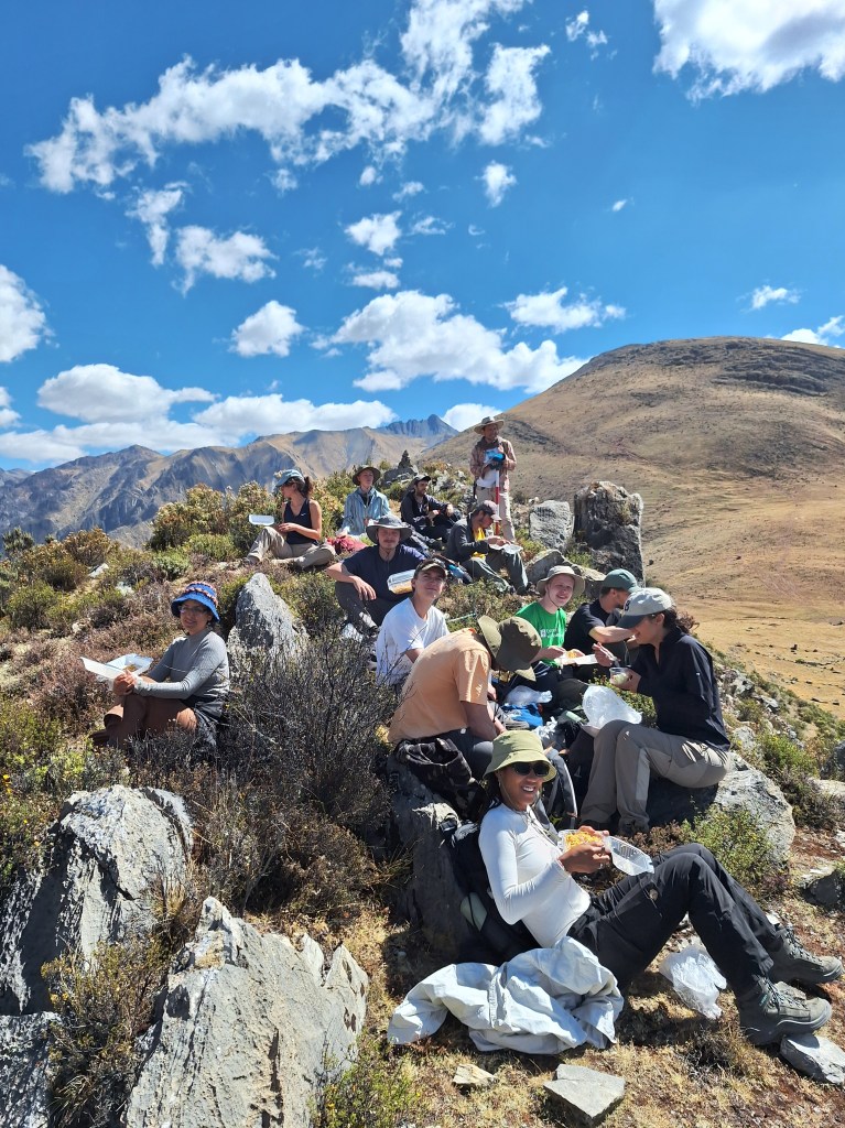
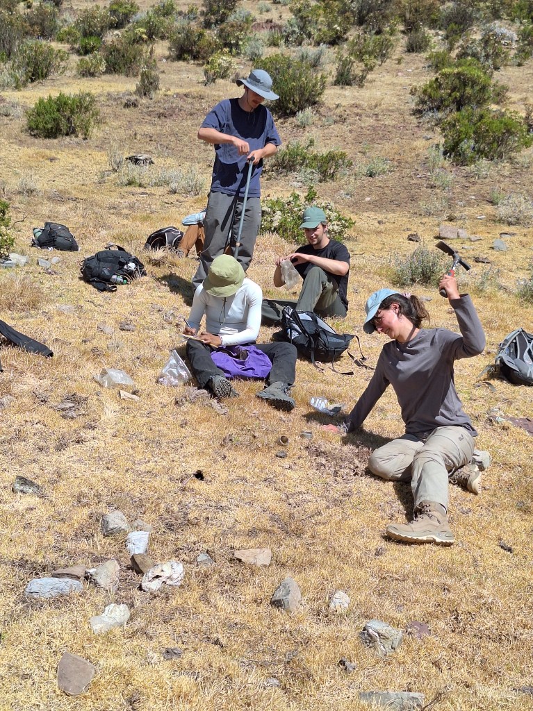
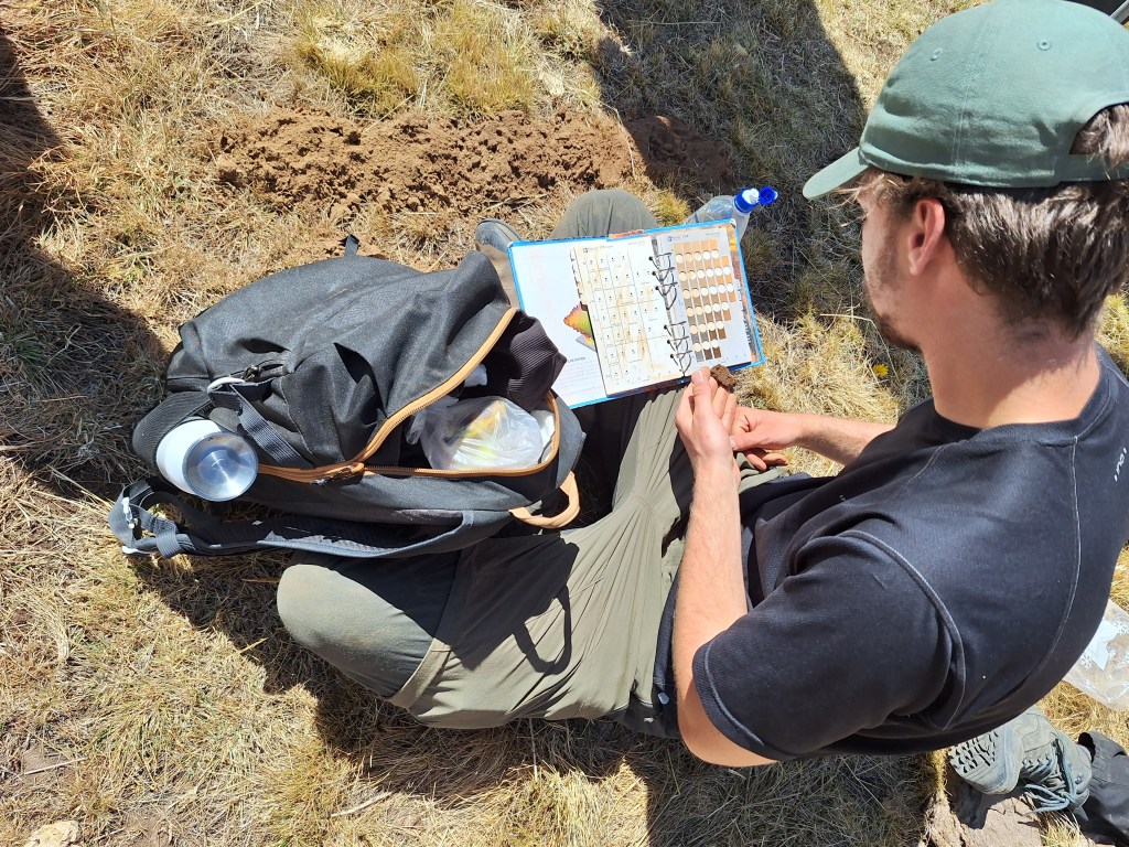
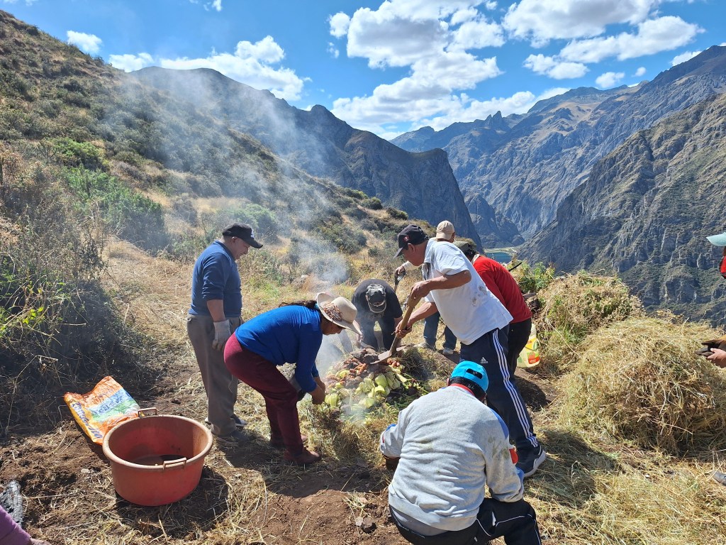
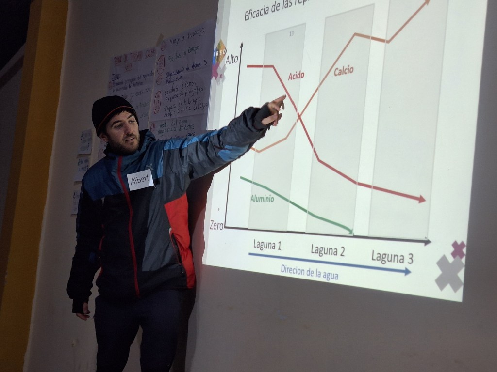
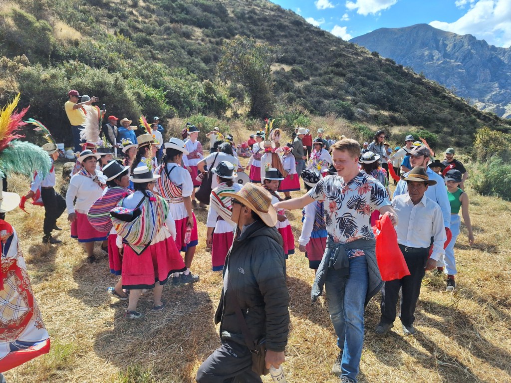
The University of Amsterdam MSc Earth Sciences “Geoecological Systems” field course took place this year in Miraflores (Peruvian Andes) during June and July. Eighteen students, including three from Peruvian institutions, spent four weeks exploring the high Andes. During this time the students developed scientific projects to address interests of the local population related to soil quality, environmental pollution, water resources and cultural heritage. Access to the area and embedding within the community was enabled by The Mountain Institute Peru. During the course the students gained extensive ‘hands on’ field experience, developed teamworking skills and discovered the benefits of a participatory approach to research.
This course runs once every two years (to find out about the 2022 expedition click here). Want to join us on a future expedition? Check out our degree program here to enroll.
Images from the University of Amsterdam Peru field course 2024
The SASQUA congress will kick off next week (19-24 May 2024) in Cango Valley (South Africa). Sessions cover many aspects of Quaternary science and range from archaeology through palaeoclimate to geological topics. The full program is now available to download.
Quick, L.J & Asithandile, N. (2024) Proceedings of the XXIV Biennial Congress of the Southern African Society for Quaternary Research (SASQUA), Cango Valley, South Africa, 19-24 May 2024. DOI: 10.5281/zenodo.11125697
To find out more about the meeting and other SASQUA activities you can also visit the organizations web pages: https://sasqua.co.za/
The 17th online Mapping Ancient Africa seminar took place on Thursday 16 May 2024. The seminar was delivered by N’dji dit Jacques Dembele and was entitled “Evidence of recent seismicity in the West African Craton: The Bamako seisemites Mali”. In the seminar surprising new evidence for Quaternary seismic activity within the West African Craton – which was thought to be tectonically stable – was presented. Specifically, the identification of clastic dykes and deformation within sedimentary and lacustrine deposits was used to suggest past high magnitude earth quakes in the last 170,000 years.
The next Mapping Ancient Africa seminar will take place online at 17:00 CEST on 16 May 2024.
Speaker: N’dji dit Jacques Dembele (President of WAQUA, Université des sciences sociales et de gestion de Bamako, Mali)
Title: Quaternary period seismicity on the West African Craton
The seminar will be delivered via Zoom. The link for the seminar can be obtained from the MAA Slack channel or by contacting the chair of this seminar (Stefanie Kaboth-Bahr). If you want to know more about the Mapping Ancient Africa project visit our web pages and please do not hesitate to get in contact if you want to get involved.
Hoorn, C., Lohmann, L.G., Boschman, L.M. & Condamine, F.L. (2023) Neogene History of the Amazonian Flora: A Perspective Based on Geological, Palynological, and Molecular Phylogenetic Data. Annual Review of Earth and Planetary Sciences51, 419-446. DOI: 10.1146/annurev-earth-081522-090454
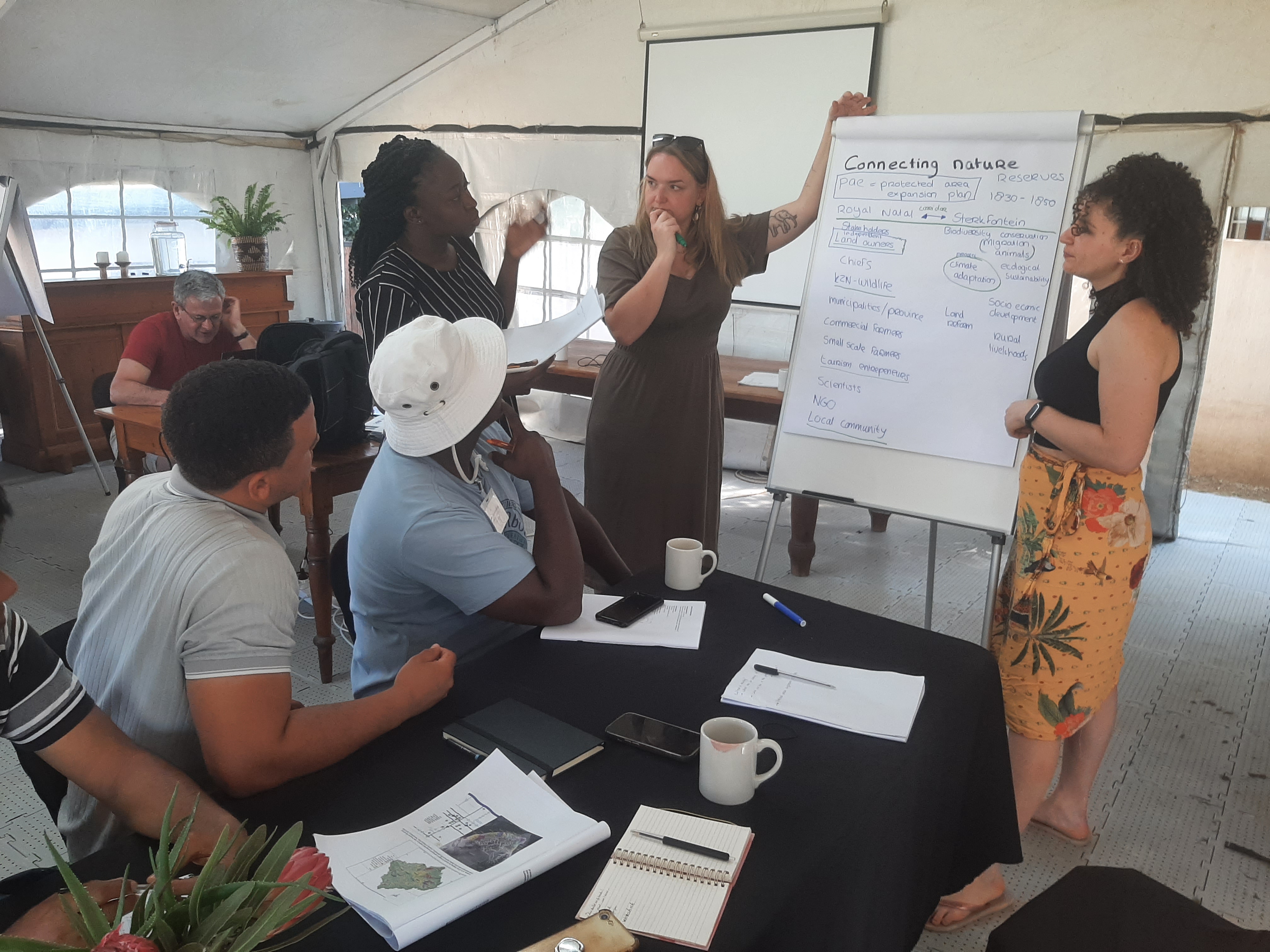
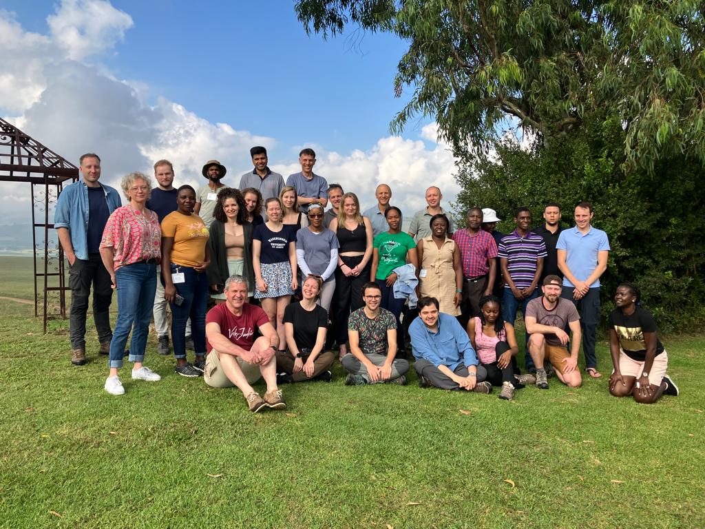
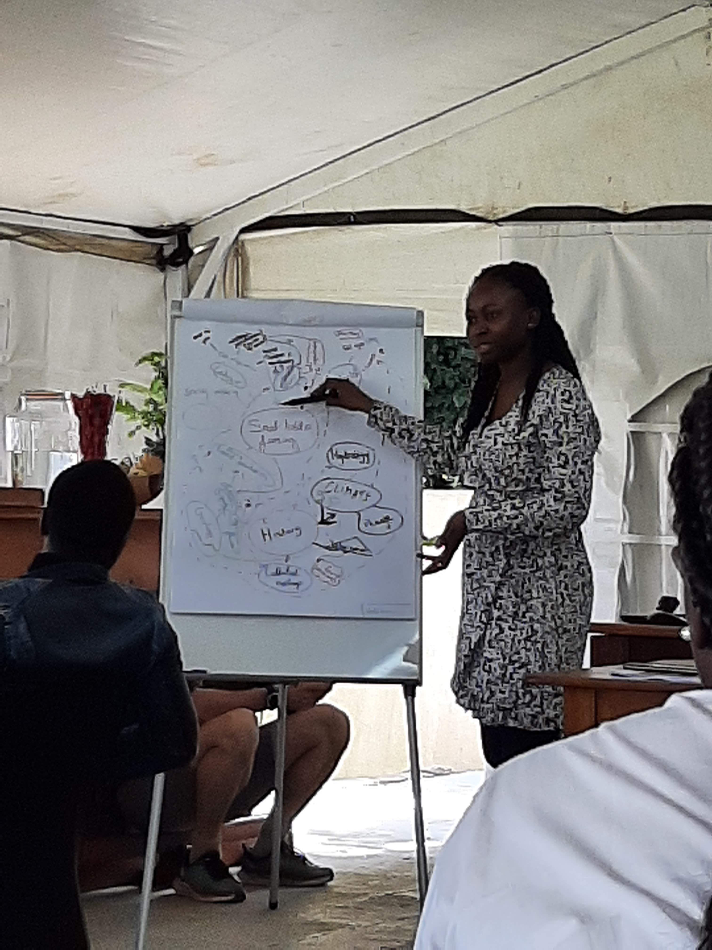
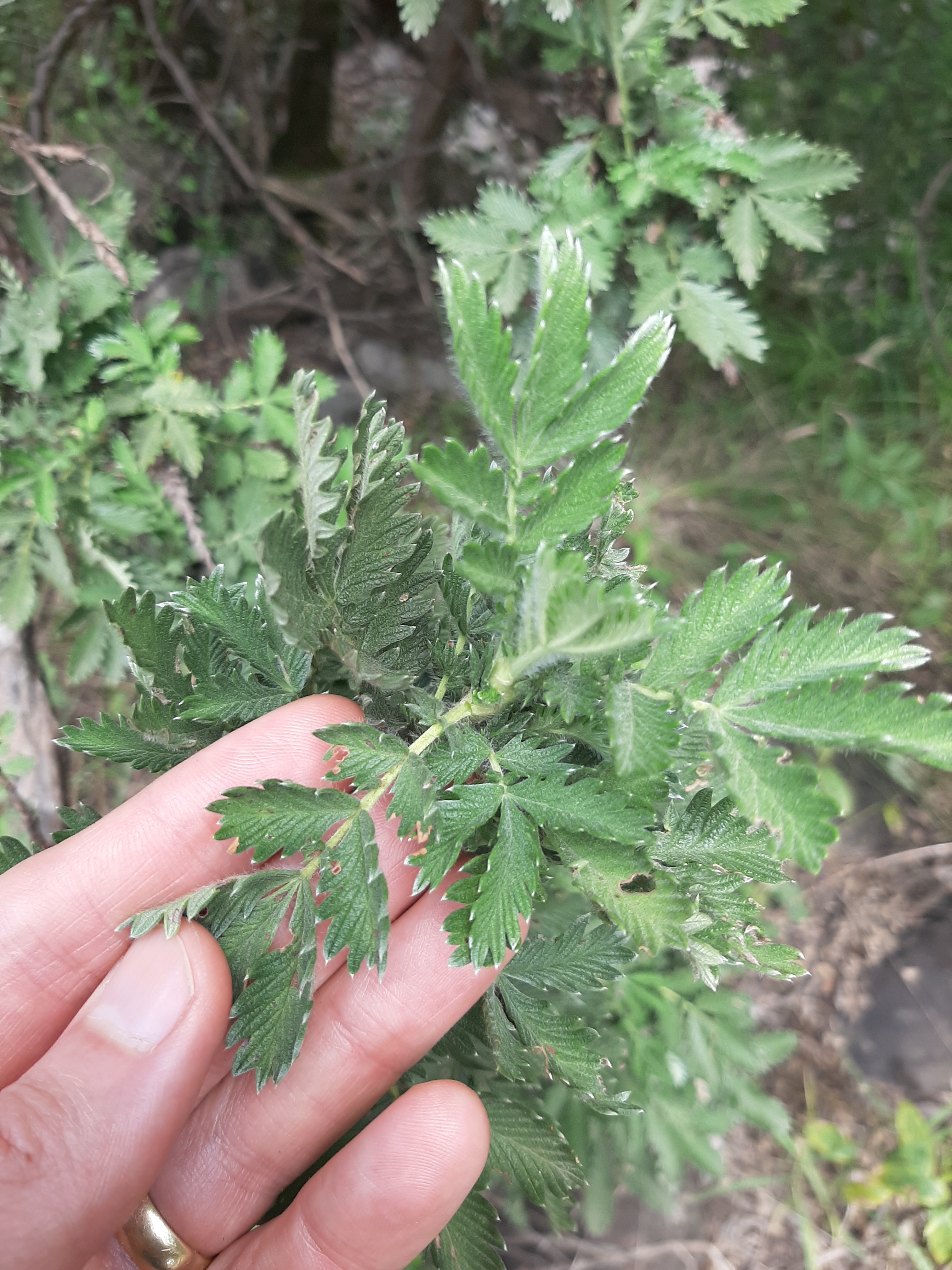
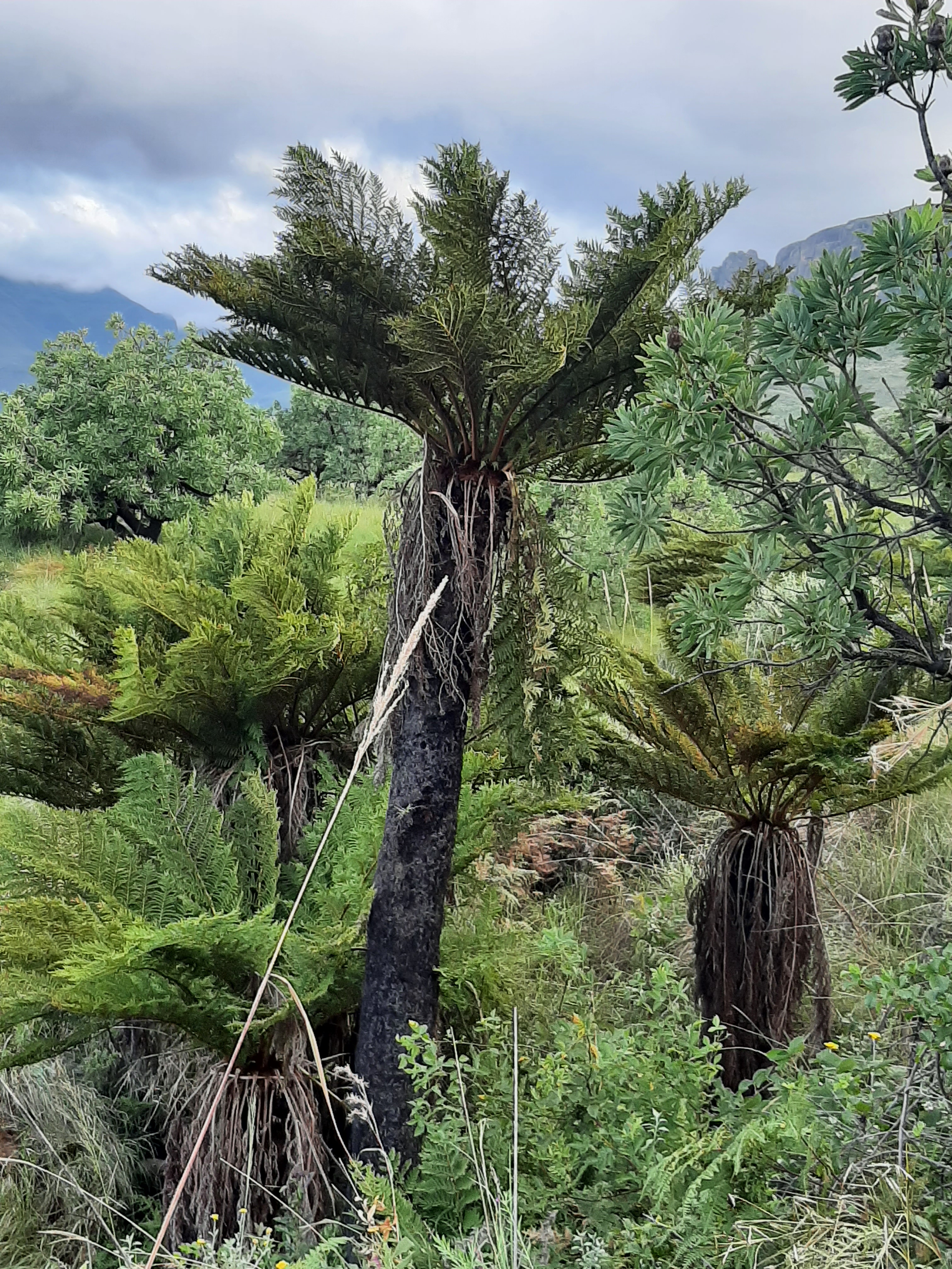
The course “Landscape Dynamics in an era of change: Learning from the past to face the future” took place in the Drakensberg Mountains of South Africa between 5 and 15 March 2023. The course was run by the Graduate School for Production Ecology and Resource Conservation (PERC) and participants were drawn from universities in the Netherlands and South Africa. The main goal of the course was to investigate the past and current dynamics of the region and predict possible futures in an inter- / trans-disciplinary context. Consequently the content of the course was incredibly diverse including: geology, geomorphology, palaeoecology, cultural history, vegetation studies, soil science, farming systems and forestry. These topics were integrated into four group projects centered on invasive species, rewilding, commercial farming and small scale farming.
We are looking for a researcher with a geosciences background to explore the physical properties of the sediments recovered from Lake Bosumtwi (Ghana). The Lake Bosumtwi sediments we recovered by the International Continental Scientific Drilling Program in 2004 and have been found to span the last c. 1.07 million years (Koerbel et al., 2005). This project will examine the borehole data and relate this ongoing palaeoenvironmental studies at the site (Miller & Gosling, 2014; Miller et al., 2016).
Jardine, P.E., Hoorn, C., Beer, M.A.M., Barbolini, N., Woutersen, A., Bogota-Angel, G., Gosling, W.D., Fraser, W.T., Lomax, B.H., Huang, H., Sciumbata, M., He, H. & Dupont-Nivet, G. (2021) Sporopollenin chemistry and its durability in the geological record: an integration of extant and fossil chemical data across the seed plants. Palaeontology https://doi.org/10.1111/pala.12523
The paper we discussed was “Columbus’ footprint in Hispaniola: A paleoenvironmental record of indigenous and colonial impacts on the landscape of the central Cibao Valley, northern Dominican Republic” by Castilla-Beltrán et al (2018). The paper provides a multi-proxy paleoecological reconstruction of the Caribbean island nation of the Dominican Republic, spanning the last 1100 years. Personally I found this to be a very interesting paper, packed with information and interpretations on the impact of anthropogenic factors on past Caribbean environments. What this paper nicely demonstrates is the difference in impact between pre-colonial and post-colonial societies on the vegetation of the Dominican republic. Pre-colonial Hispaniola was inhabited by indigenous societies, the Taíno people, and while this paper clearly shows them having had an environmental impact in the form of fire management (e.g. for slash and burn agriculture), small scale deforestation and the introduction of cultivars such as maize and squash, their environmental impact remains modest compared to post-colonial disturbances. Columbus arriving in AD 1492 signified a moment of change in the landscape. The paleorecord suggests that, after an initial collapse of the Taíno population, the colonization of the Dominican Republic by the Spanish brought with it deforestation, crop monoculture and the introduction of European livestock, all of which still characterizes the landscape to this day.
The discussion mainly focused on the chronology used. One of the radiocarbon samples was excluded from the age-depth model for no apparent reason, which led us to discuss the importance of critically evaluating your calibrated radiocarbon dates and which ones to incorporate in your age-depth model. The age-depth model currently used implied a shift in pollen composition c. 30 years before the arrival of the Spanish. We were unsure how to interpret these findings because you would expect the shift to happen afterwards, so my initial thought was that it had to be a fault in the chronology. This chronology however does imply a large charcoal peak followed by a rapid decline that coincides precisely with the arrival of the Spanish, and it turned out that this was the reason the authors settled on this chronology.
Even though this paper by Castilla-Beltrán et al. didn’t spark any heated discussions, its incorporation of ecology, botany, history, archeology and geology still showcases the interdisciplinary nature of paleoecology, something I very much enjoy about this field of research.