By Bouwe Groeneveld (MSc Biological Sciences, track Ecology & Evolution, University of Amsterdam)
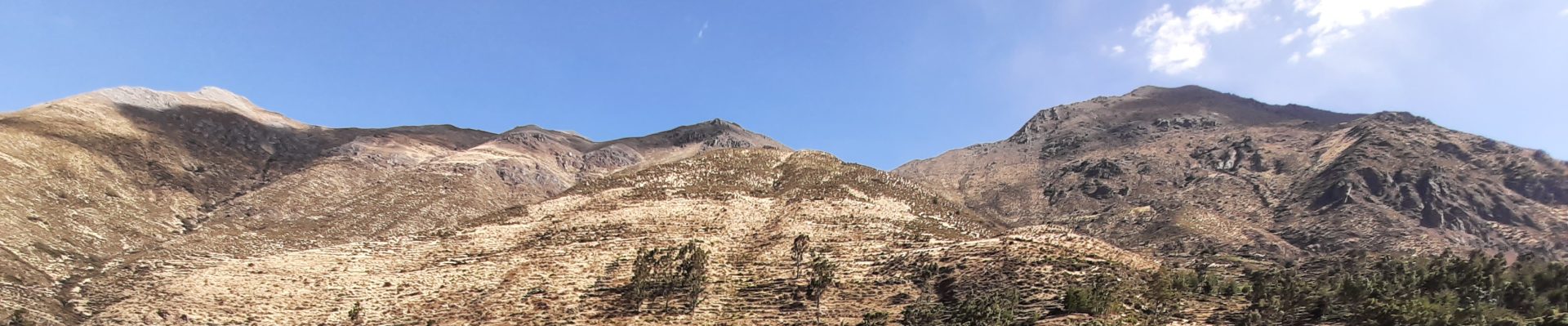
From 2 to 6 March, I joined the Mapping Ancient Africa Research and Writing Workshop at Fountainhill Estate near Pietermaritzburg, South Africa. The week brought together focused writing, interdisciplinary exchange, and time in the landscape.
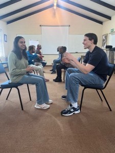
We began with a speed dating session that set an open and collaborative tone. Participants introduced their research backgrounds, ranging from botany and ecology to geography. The group was highly international, with participants from Ghana, Ethiopia, Nigeria, Kenya, South Africa, and the Netherlands. This diversity quickly proved valuable, as different perspectives naturally complemented one another throughout discussions.
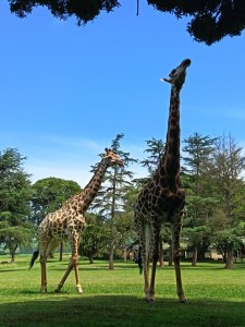
The second day centred on the challenges of academic writing and publishing. Through group conversations and smaller sessions, we reflected on common difficulties such as structuring arguments and navigating the publication process. Later that afternoon, we walked across the estate to the Holley Shelter archaeological site. During the walk, I noticed how the surrounding landscape offered a sense of calm that contrasted with the intensity of writing. Along the way, we encountered a giraffe standing only a few metres from us, quietly feeding on acacia leaves.
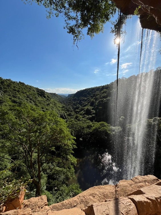
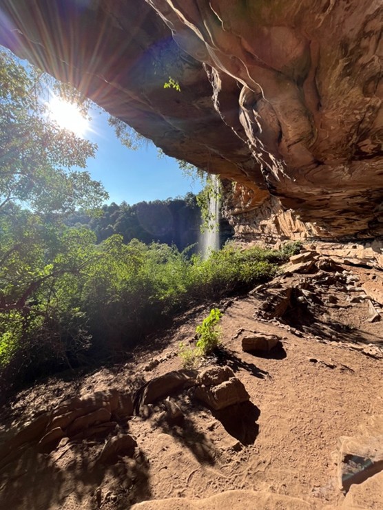
The shelter itself was striking. A clear waterfall flowed down the rock face, catching the sunlight as it filtered into the green valley below. The interplay of water, rock, and light created a remarkably beautiful and tranquil setting, making the site feel both impressive and deeply serene.
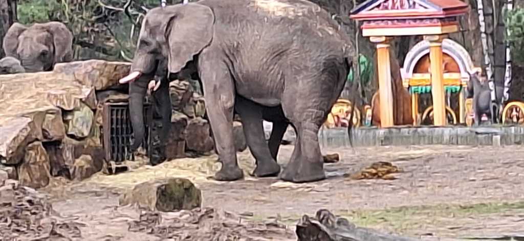
Dung fungal spores (or spores of coprophilous fungi) are often used to track herbivore presence or abundance in the past (e.g. van Geel, 2001; Lee et al., 2022). While the animals are not preserved evidence of them is through the type and quantity of the fungal spores preserved in the sedimentary record.
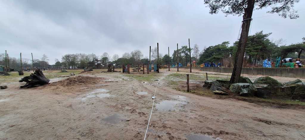
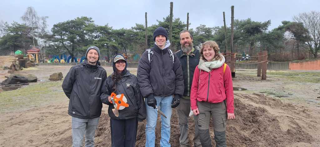
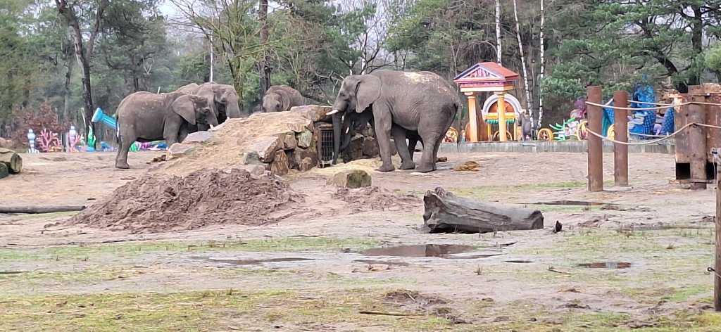
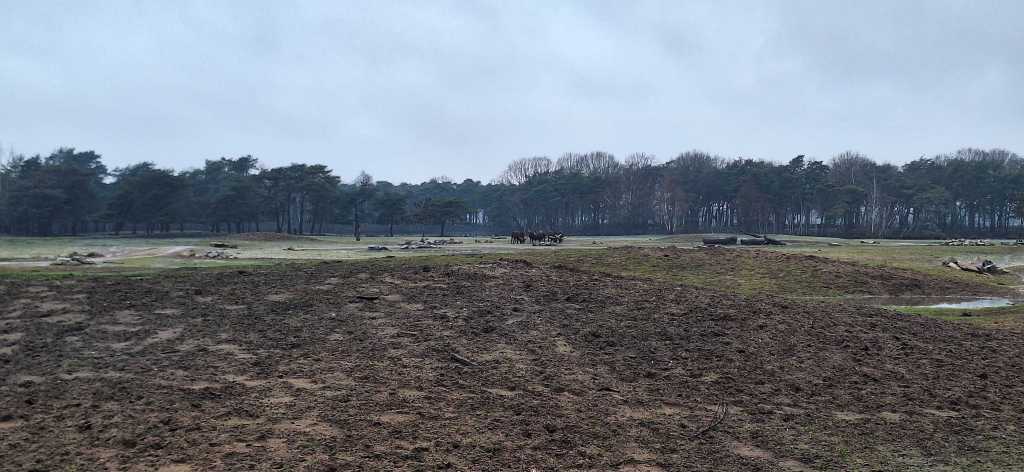
On 12 February 2026, along with University of Amsterdam MSc researchers Chiara Raino, Sarah Main and Bouwe Groeneveld, I travelled to Beekse Bergen zoo in the south of the Netherlands to collect samples to see if we could related specific animal types to particular dung fungal spore assemblages.
At the zoo we met with Stijn Berger who coordinates scientific collaboration for Beekse Bergen. Stijn kindly arranged for us to visit a number of enclosures before the animals were let out for the day. We collected samples from areas containing elephants, spring bok and rhinos. We new wait for the samples processing, and the students analysis, to see if there is any relationship between the animal and fungal spore types.
References
van Geel, B. van. (2001). Non-pollen palynomorphs. In S. J.P., H. J. B. Birks, & W. M. Last (Eds.), Tracking environmental change using lake sediments. Vol. 3 (pp. 99–119). Kluwer.
Lee, C. M., van Geel, B., & Gosling, W. D. (2022). On the use of spores of coprophilous fungi preserved in sediments to indicate past herbivore presence. Quaternary, 5(3), 30. https://doi.org/10.3390/quat5030030
As part of my MSc Biological Sciences research project at the University of Amsterdam I travelled to Africa, where I first presented the early findings of my research at the SASQUA congress (blog post 1) in Oudtshoorn (Western cape), before heading to the University of Kwa-Zulu Natal (blog post 2). Here I met up with local experts and prepared for the upcoming fieldwork, which the previous parts of this blog series covered. Now, the time has come for the final and best part, about my fieldwork in the absolutely gorgeous Drakensberg mountains.
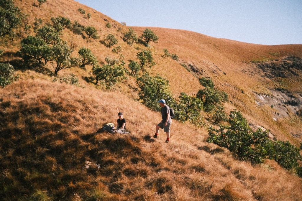
Aims: As the samples for my research had already been collected earlier by my supervisors Prof. Dr. Jemma Finch & Prof. Dr. Trevor Hill for the University of Kwa-Zulu Natal, our initial goal was to collect various samples (charcoal, sediment cores, etc) for the next students. During my time at the university of Kwa-Zulu natal, however, we realized that it would be great to collect a bunch of C3 and C4 grass species, to extract phytoliths (amorphous silica particles formed in plant tissues) from, which would help with the interpretation of our data. This then became our new focus. To achieve this goal we visited the Drakensberg twice, one day trip in the weekend, and one trip with an overnight stay.
Day 1
After a night of utterly terrible sleep (I was alone on the AirBnB property, the gate did not lock due to the cold, and our dogs started barking at something (someone!?) at 2AM), I woke up at 6AM to get ready for the long day ahead of us. Jemma came to pick me up at the, bringing coffee with her, which I really appreciated. We then picked up Trevor at their place and began our drive towards the mountains. I had not seen much of the landscape in the Kwa-Zulu Natal province, which turned out to be very compared to the Western Cape. Whereas the western cape had fynbos vegetation (very similar to the Mediterranean, KZN was more savanna like. There was grass everywhere the eye could see, except for the patches of spruce, planted by humans. Halfway through the drive the Drakensberg mountains came into view, which was stunning. We then drove through some small villages, until we finally arrived at the Berg.
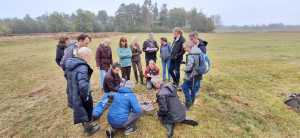
During the seminar afternoon (17 October) we heard four talks. The first from Harm Smeenge and Ariët Kieskamp (both Bosgroep) introduced the sites we were to visit on the excursion the next day. This focused on the landscape ecology and ecological history of the bogs on the eastern slopes of the Veluwe. The second talk, by Roy van Beek (Wageningen University & Research), focused on the Celtic field systems around the Veluwe. He explained the latest archaeological and archaeobotaincal work investigating the age and origins of these field systems. The third presentation was by Jasper Candel (Wageningen University & Research) and focused on the geomorphological features from glacial activity in the Veluwe region and how this has effected the development of mire ecosystems. I (William Gosling) gave the final talk, presenting the outputs of the research theses of Sanna Wessel, Chiara Raino and Roos Dik who all completed projects at the University of Amsterdam and worked together to investigate how different mega-herbivore populations in the Dutch landscape were represented by the dung fungal spores preserved in the soil.
INQUA fellow Alfred Hougnon continues his research into past environmental change in the Dahomey Gap (Benin). In the fourth video documenting his progress a short background to the project, and insights into field work, are given. Field work took place near the Ewe-Adakplame forest in the south east of Benin and involved the recovery of sediments using a Russian corer. The video also shows how interactions and engagement with the local community was developed during the research expedition.
To find out more above Alfreds project read posts on:
After visiting the SASQUA conference and presenting my work there (see SASQUA Conference post), we travelled to the University of Kwa-Zulu Natal in Pietermaritzburg (UKZN), where I would be staying for three weeks. During this period, my goal was to meet with local experts and to visit my site of study in the Drakensberg mountains. This would help me gain more insight into the environment I’m studying and provide me with an opportunity to collect more samples.
Pietermaritzburg
After the SASQUA congress finished, we flew from Port-Elisabeth to Durban. This would be my first time in one of the highly urbanised parts of South-Africa. We drove about an hour from Durban to Pietermaritzburg, better known locally as PMB, and I immediately noticed the stark difference between the countryside of the Western cape and the urbanised areas of Kwa-Zulu Natal. The city was rough around the edges and felt generally less safe than the laid-back countryside. Luckily, my accommodation was located in one of the better neighbourhoods close to campus. Macho the adorable dog of the AirBnB owners further assured my feeling of safety.
In this article I summarize and describe the scientific research that was performed near Botopasi in Suriname, which was published in Ecology as ‘Pre-contact and post-colonial ecological legacies shape Surinamese rainforests’ (https://doi.org/10.1002/ecy.4272).
Figure 1: Our research team in the field
Background
In October 2021, between COVID-19 restrictions, I joined archaeologist dr. Cheryl White and her team to excavate the remnants of a ‘lost village’ of Saamaka Maroons in the Surinamese rainforest. Maroons are the descendants of enslaved Africans, who, in the late 1600s, fled plantations to live in freedom in the Surinamese rainforests. Dr. White has been investigating the first villages and the movements of Suriname’s Maroon communities for decades and is an expert in this topic.
Our wonderful research team consisted of Farisha Kartosemito B.Sc., Sushmeeta Ganesh B.Sc., Jõvan Samson B.Sc., Agir Axwijk B.Sc., Santosh Singh M.A., Thanya Fonkel MPA, Harrold Sijlbing, Dombi Lö, Gerno Eduards & Farik Eduards. We were welcomed in the village Botopasi, and after a day of hard work in the field, we enjoyed delicious Surinamese food and played troefcall!
As an ecologist, I was interested in the ecological effects of past human activities on the forest ecosystem. In these rainforests, Maroon and Indigenous communities often burn and remove trees near their homes to grow a variety of crops like cassava, tayer, maize and banana. After some years, the cultivation site is abandoned and forests can grow back. But do those forests recover back to their original state?
What did the forest look like before people arrived and settled in the landscape of Boven Suriname?
To study how Maroon communities have shaped Surinamese forests over time, I made a reconstruction of the landscape of the past (going back thousands of years). The landscape was near an archaeological sites called ‘Beng Tau’, where Maroons lived in the 17th century. We used plant fossils and charcoal remains to reconstruct the forest from the past, to research if people were using fire and growing crops, and how the forests recovered from that.
Results and implications
Figure 2: Phytoliths from the banana plant
The charcoal remains and plant fossils, particularly from maize and banana, confirmed Saamaka Maroons settled in the area since ca. 1700 and practiced slash-and-burn agriculture was near the archaeological site called ‘Beng Tapu’ (Figure 2). The site may have been a cooking area, because remnants of pottery with maize, rice and banana were found. Within 1 km of Beng Tapu, we found large fragments of charcoal, and plant fossils from maize and banana. Smaller charcoal fragments and banana were found within 5 km of the archaeological site. Nowadays, agriculture is practiced within 8 km of the archaeological site and Suriname river. The area used for agriculture likely expanded over time.
How did the forest recover from these activities?
Within 1 km of the archaeological site, forests were burnt and used multiple times. Here, forests have a lower biomass than further away from Beng Tapu, meaning fewer or smaller trees have grown back. Also, Attalea and Oenocarpus palm trees increased. Still today, the Saamaka Maroon community uses the maripa palm to make oil. Therefore, the number of maripa palms may have increased due to human activities like cooking and oil production! Attalea and Oenocarpus palms are also adapted to open conditions and fire, showing the influence people had on the environment and how the forest responded to fires.
Further (2-7 km) away from the archaeological site, where disturbances were fewer, the forests recovered much better but Astrocaryum palms grew back in higher numbers in the understory of the forests. What makes these palms so resilient? We are still uncertain. The forests furthest away (>8km) from Beng Tapu showed little signs of disturbances.
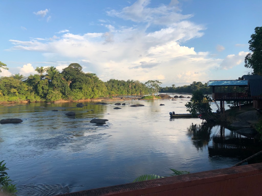
Figure 3: View from the Suriname River
A long human history, and an Indigenous archaeological site?
The Saamaka Maroons were not the first people to have inhabited the forests near Botopasi. Charcoal fragments show that people were in region (the ca. 20 km radius we studied) already 2000 years ago, and fire events occurred ca. 2000, 1700,1500, 1300, 1200 and 800 years ago. We don’t know which Indigenous Cultures may have inhabited this region, because of limited archaeological and historical research here. Large charcoal fragments were found ca. 7 km away from Beng Tapu, across the Suriname River. Could this be an Indigenous archaeological site?
Conclusion
Our results show the timing, intensity and frequency of past disturbances are very important for good forest recovery and some disturbances from the past can still impact the modern vegetation.
Unravelling the past not only tells us about the ancestors of Maroons and the lives of Indigenous communities before the 1500s. The past also helps us to understand how forests respond to human impacts. To better guide conservation strategies, we need to do more archaeological and ecological research in Surinamese rainforests.
Next to the Suriname River, past human activities shaped the forest andincreased local palm abundances. The broader forested region showed a healthy recovery. These results indicate that the Saamaka Maroon community preserved most of the forests they inhabited since the 1700s. We can learn from traditional knowledge about which management practices are sustainable to keep forests healthy.
If you want to know more about the “hows” of this research…dive with me into the methodology!
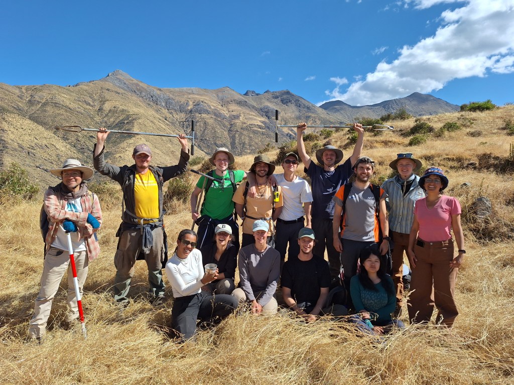
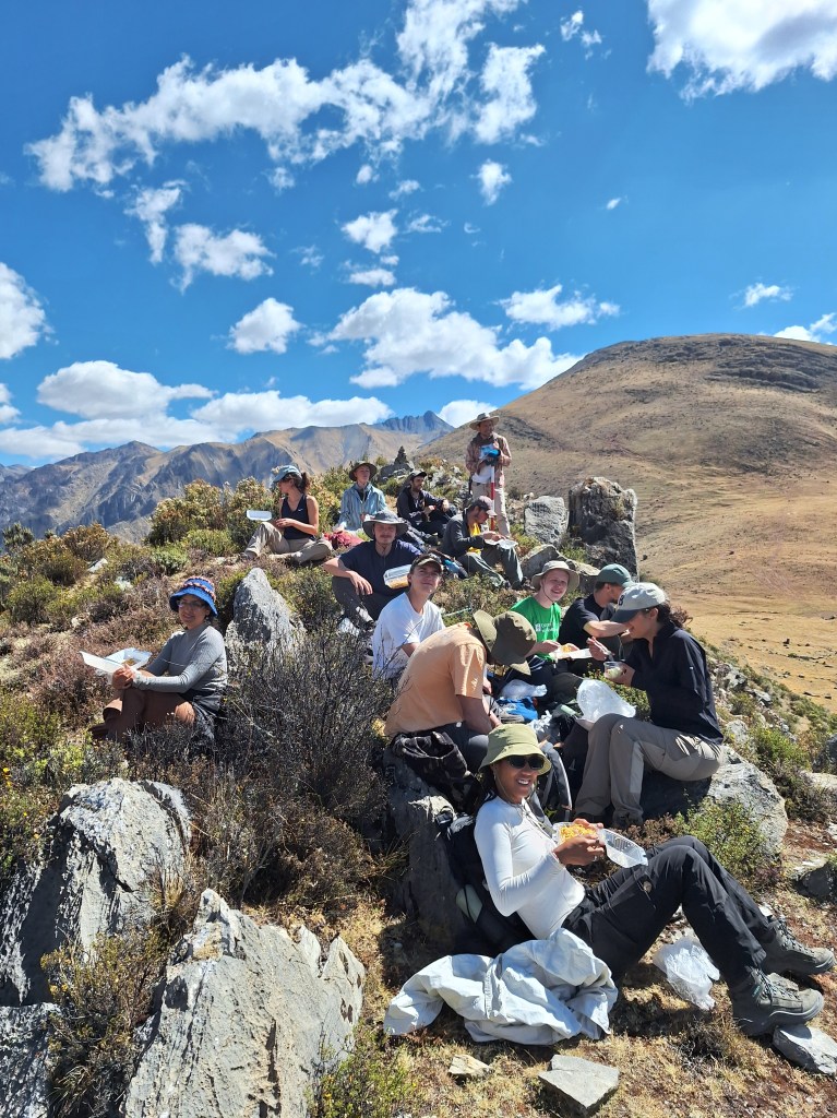
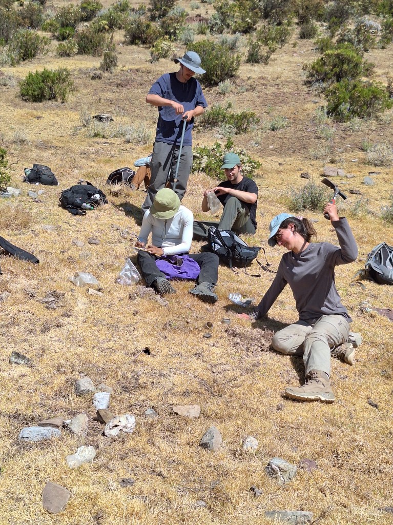
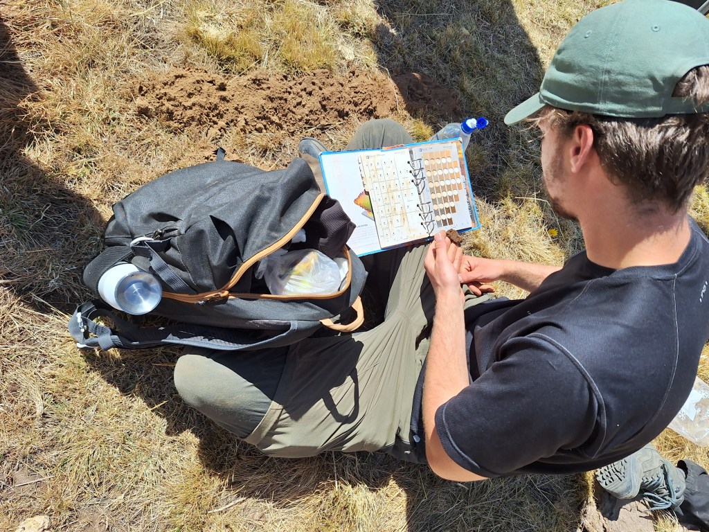
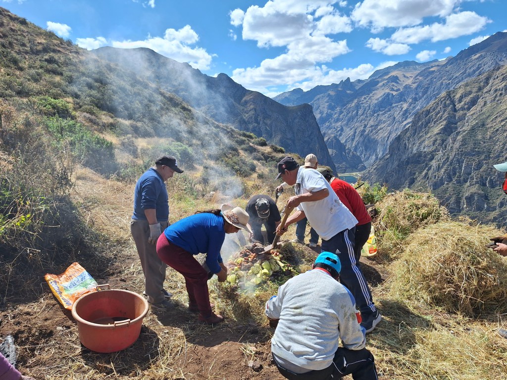
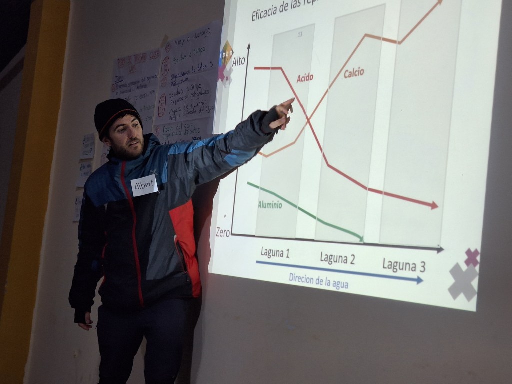
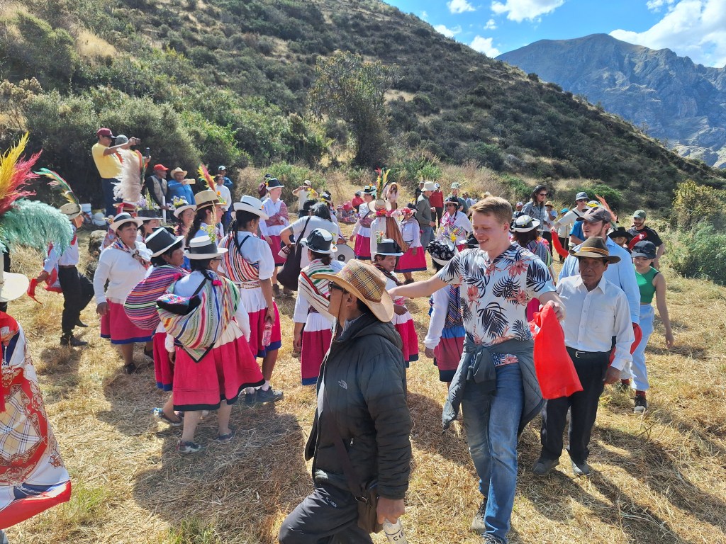
The University of Amsterdam MSc Earth Sciences “Geoecological Systems” field course took place this year in Miraflores (Peruvian Andes) during June and July. Eighteen students, including three from Peruvian institutions, spent four weeks exploring the high Andes. During this time the students developed scientific projects to address interests of the local population related to soil quality, environmental pollution, water resources and cultural heritage. Access to the area and embedding within the community was enabled by The Mountain Institute Peru. During the course the students gained extensive ‘hands on’ field experience, developed teamworking skills and discovered the benefits of a participatory approach to research.
This course runs once every two years (to find out about the 2022 expedition click here). Want to join us on a future expedition? Check out our degree program here to enroll.
Images from the University of Amsterdam Peru field course 2024
As part of my MSc Biological Sciences (University of Amsterdam) research project entitled “Assessing the effect of human induced fire regime changes on vegetation in the Drakensberg mountains” (for further details click to see previous post). I’ve travelled to Africa, where I’ll be staying a month. During this mini blogpost series I’ll take you with me on my travels!
During the first poster session, I presented my poster which went into detail on how we are developing a proxy to reconstruct past fire using micro-Fourier Transformed Infrared Spectroscopy (µFTIR). These reconstructed fire temperatures can then be compared with phytolith or pollen data to assess the effects of different fire temperatures on local vegetation over time. The presentation and poster were well received!
After my poster presentation there were two more congress days which were filled with interesting talks and beautiful posters.
Hello Ecology of the Past readers, my name is Jelle Kraak and I’m currently doing a research project for my MSc Biological Sciences (University of Amsterdam) supervised by William Gosling (University of Amsterdam), Jemma Finch (University of KwaZulu-Natal), and Trevor Hill (University of KwaZulu-Natal). The project is entitled: “Assessing the effect of human induced fire regime changes on vegetation in the Drakensberg mountains”. During the project I will visit South Africa to work at the University of KwaZulu-Natal and visit field site thanks to partial funding from the Amsterdam University Funds.
Research project outline
As many of you know, humans have been interacting with the environment for millennia in various ways. One of the ways in which humans interact with the environment is through the ignition of fires. By doing so, humans may change fire regimes (fire frequency, severity and/or intensity), which in turn can cause changes in vegetation composition and structure. By using a combination of phytolith (local vegetation) and charcoal (fire) data from two sediment cores obtained from wetland environments in the Drakensberg mountains, we aim to assess the effect of fire regime changes on vegetation over the last 6000 years.
The phytoliths (biogenic silica microfossils) allow for the reconstruction of the past vegetation. Charcoal fragments characterize all aspects of past fire regimes: (i) frequency (time series analysis of charcoal data), (ii) severity (abundance of charcoal in samples reflecting biomass consumed), and (iii) intensity (spectral properties of individual charcoal fragments reflecting combustion temperature).
The most interesting part of this project (in my humble opinion) is that this study is the first to use micro-Fourier Transformed Infrared Spectroscopy (µFTIR) to reconstruct fire temperatures from field samples ánd combine these accurately reconstructed temperatures with local vegetation data! It is important to accurately estimate fire temperatures, as the temperature of a fire dictates the type of plant materials which are consumed in a fire (the higher the temperature, the greater the proportion of woody material burning up). Similar studies have been conducted previously, however, these studies compared fire severity i.e. total burnt biomass with vegetation data. Although this works decently, total burnt biomass is not an accurate representation of fire intensity or temperature, as at very high temperatures biomass turns to ash, which cannot be detected in sediment cores. Through parameterizing both the vegetation changes and the fire regime we will provide a comprehensive picture of how changing human fire use practices modified the vegetation. We anticipate that: (i) a decrease in fire intensity resulted in woody encroachment of the surrounding vegetation, which was concomitant with the arrival of agropastoralists c. 600 years ago, and (ii) a shift in the proportion of C3 and C4 grass species in reaction to temperature changes in the Drakensberg mountains.